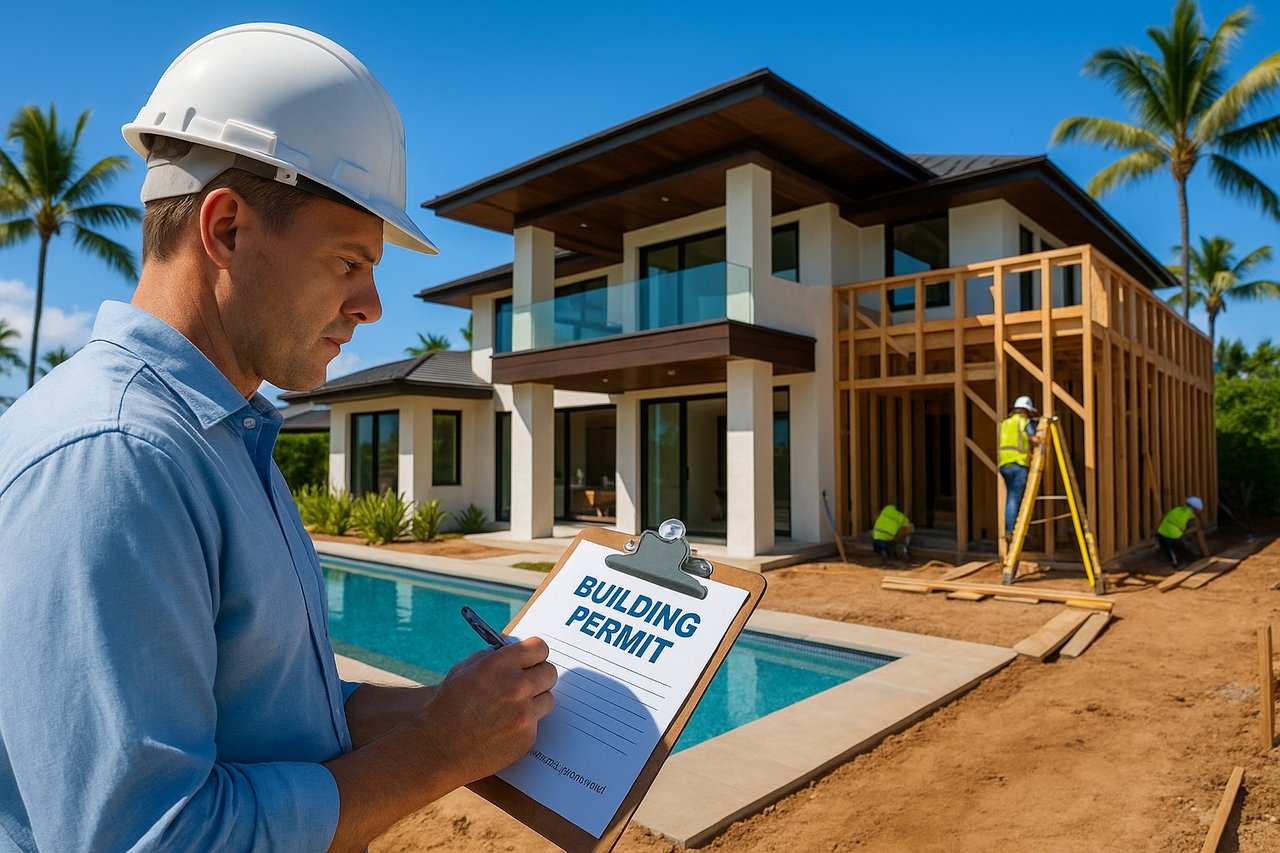
Hawaii’s land has a way of drawing people in slowly, then holding them firmly. For investors and developers, that pull is real, but so is the complexity beneath the surface. Hawaii classifies all land into four statewide land use districts before a single county rule even applies, creating a two-layer regulatory system unlike anything on the mainland. Miss the first layer, and even the most promising parcel can stall in permitting limbo. Understanding both levels is not optional. It is the foundation of every sound acquisition decision across Maui and the surrounding islands.
Table of Contents
- How Hawaii’s property zoning system works
- The four state land use districts explained
- County-level zoning: Maui example
- Special overlays and historic districts: what investors miss
- Why getting Hawaii zoning right is the real competitive advantage
- Connect with local experts for zoning-optimized investments
- Frequently asked questions
Key Takeaways
| Point | Details |
|---|---|
| Two-layer zoning system | Every Hawaii property is subject to both state land use districts and county-specific zoning rules. |
| Four state land districts | Urban, Rural, Agricultural, and Conservation districts set the fundamental limitations for all land. |
| County zoning controls actual uses | Counties manage zoning codes determining what can be built, rented, or developed—within the state framework. |
| Don’t overlook overlays | Special and historic overlays can add powerful development restrictions or opportunities that override base zoning. |
| Due diligence is critical | Checking both state and county zoning up front helps investors avoid costly surprises and failed projects. |
How Hawaii’s property zoning system works
Hawaii’s zoning structure is genuinely unlike any other state in the country. Most mainland investors arrive expecting a single zoning map from the county, and that assumption costs time and money. Here, two separate regulatory frameworks govern every parcel, and both carry legal weight.
The first layer is the State Land Use District, administered by the Hawaii Land Use Commission (LUC). This classification acts as the outer ceiling, defining the broadest category of use permitted on any given piece of land statewide. The second layer is county zoning, which applies local rules within that state framework. Think of it this way: the state sets the ceiling, and the county builds the room beneath it. You cannot exceed the ceiling, no matter what the county permits.
Counties apply their own zoning districts within the state framework, and each layer independently affects what can be developed, operated, or rented. A parcel zoned for commercial use by Maui County still cannot be developed commercially if the state has classified it as Conservation land. Both must align.Here is why skipping the state classification step is so risky in practice:
-
A buyer identifies a parcel with a county zoning code that appears to allow multi-unit residential development.
-
The purchase agreement is signed based on that county designation.
-
Due diligence later reveals the state has classified the land as Agricultural.
-
Reclassification petitions to the LUC can take years and carry no guarantee of approval.
-
The deal collapses, or the buyer is locked into a property with far fewer options than anticipated.
“The state district classification is not a formality. It is the legal foundation that determines what the county can even offer you.”
Pro Tip: Before analyzing any county zoning map, pull the state land use district classification first. The LUC maintains public records for every parcel in Hawaii. This single step can save months of misdirected due diligence.
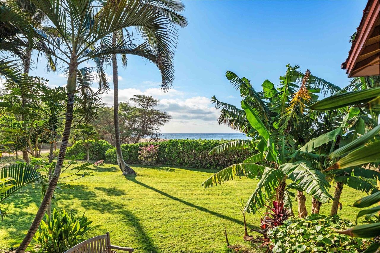
For investors exploring beachfront homes and county rules, or those still choosing communities in Hawaii, understanding this dual structure is the first act of genuine stewardship over your investment.
The four state land use districts explained
The Hawaii Land Use Commission administers four distinct state land use districts: Urban, Rural, Agricultural, and Conservation. Each carries its own permitted uses, restrictions, and investor implications.
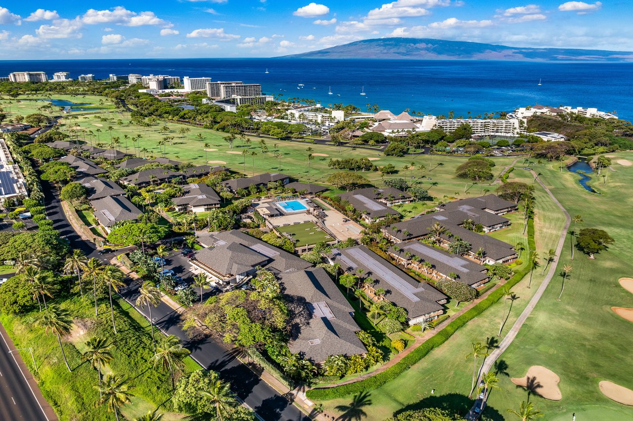
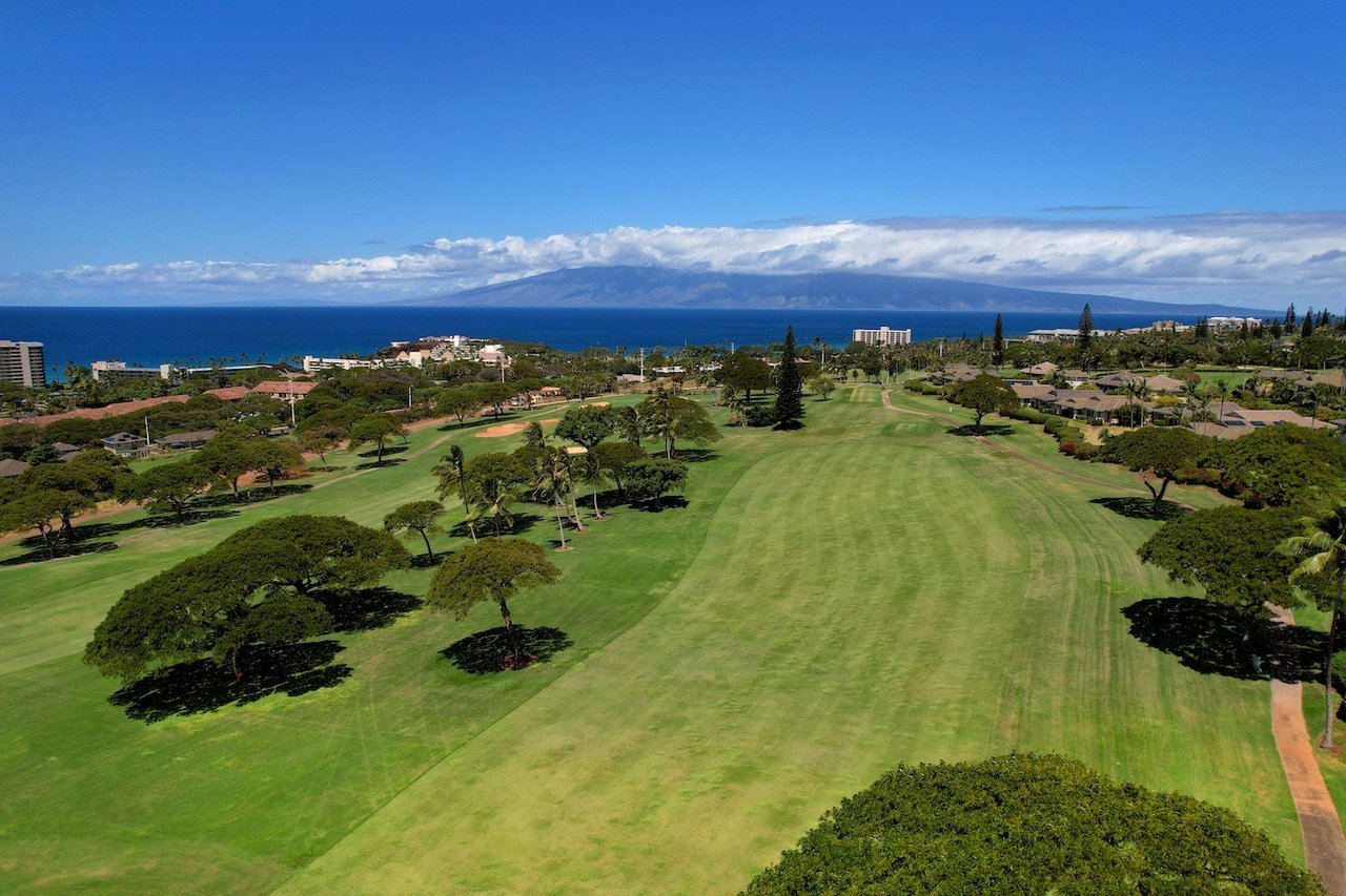
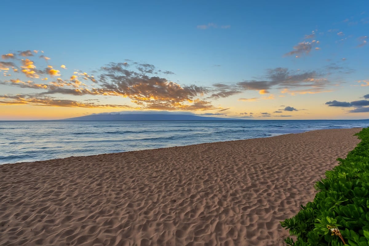
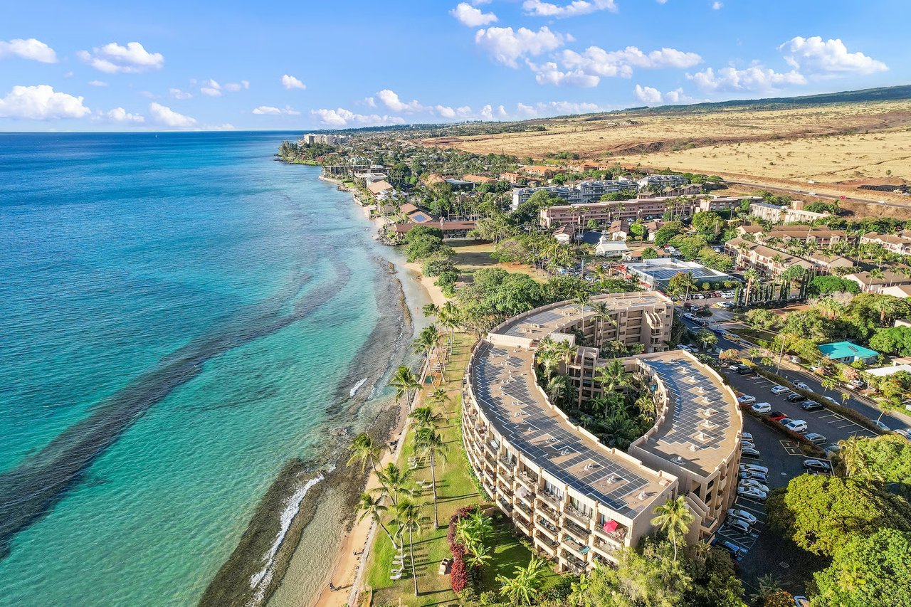
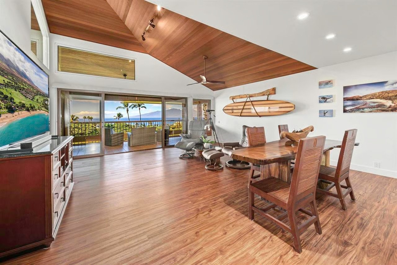
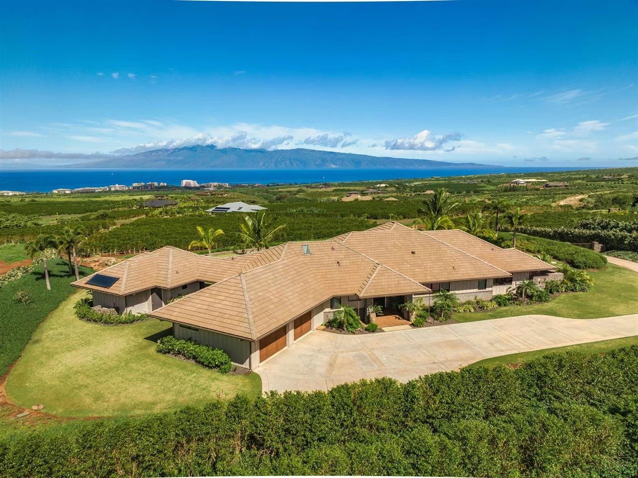
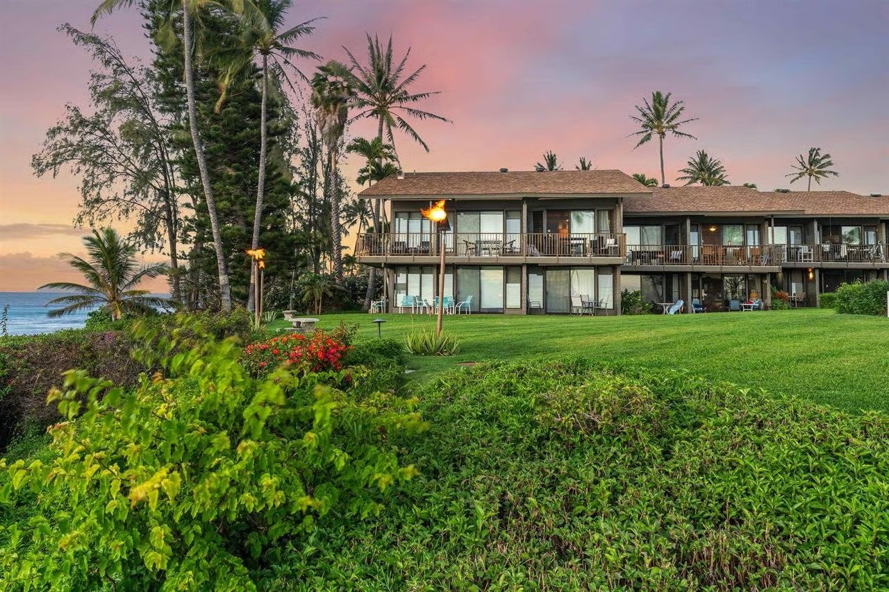
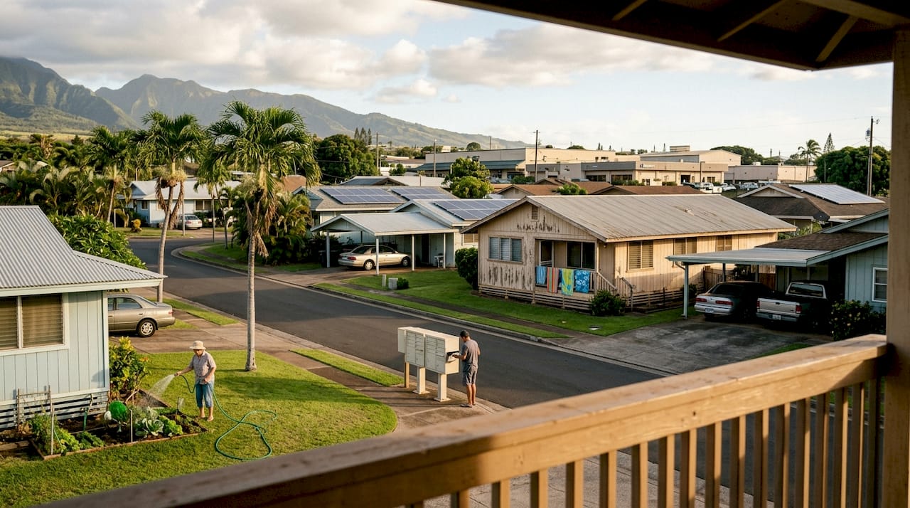
Urban District: This is where most residential, commercial, and industrial development occurs. Cities like Kahului and resort corridors like Kaanapali fall within Urban boundaries. Density is highest here, and county zoning within Urban land offers the widest range of permitted uses.
Rural District: A narrow classification, Rural land sits between Urban and Agricultural. It typically allows low-density residential uses alongside small-scale farming. Parcels are usually larger, and subdivision is tightly controlled.
Agricultural District: This is the most common land type across the islands. Agricultural land allows farming, ranching, and limited residential use, though restrictions on non-agricultural structures are significant. Investors should note that “Ag zoning” does not automatically mean a parcel is developable for residential purposes.
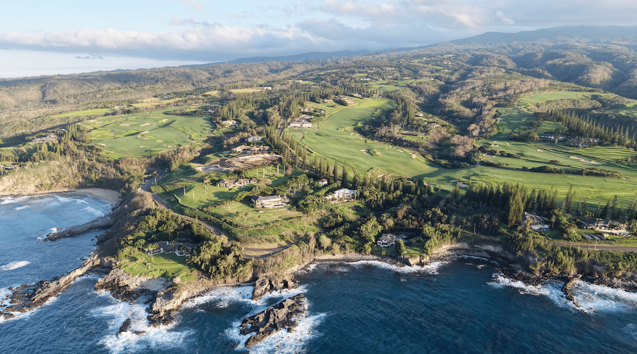
Conservation District: The most restricted classification. Conservation land protects natural resources, watersheds, forests, and coastlines. Development is extremely limited, and permits from the Department of Land and Natural Resources (DLNR) are required for almost any activity.
Over 47% of Hawaii’s land falls within Agricultural or Conservation districts, which means the majority of the state’s acreage carries significant development constraints. That statistic alone reframes how investors should approach raw land acquisition.
| District | Primary use | Key restriction | Investor note |
|---|---|---|---|
| Urban | Residential, commercial, industrial | County zoning governs density | Widest development range |
| Rural | Low-density residential, small farms | Limited subdivision rights | Rare; check parcel size carefully |
| Agricultural | Farming, ranching, limited residential | Non-ag structures tightly controlled | Do not assume residential rights |
| Conservation | Resource protection, open space | DLNR permit required for most uses | Extremely limited development |
For a grounded example of how Urban zoning translates into real property opportunity, Kahana illustrates the kind of development that Urban classification enables. And for those weighing how district type shapes daily life, district impacts on lifestyle offer valuable context.
County-level zoning: Maui example
Once you confirm the state land use district, county zoning becomes your next lens. On Maui, the county applies a detailed set of zoning district codes that govern density, permitted uses, and rental eligibility within the state framework.
Maui County uses named district codes like A-1 and A-2 for apartment districts, along with Residential ®, Hotel (H), and Business (B) designations, each controlling what can be built, how many units are allowed, and whether short-term rentals are legally permitted.Here is a practical breakdown of the most relevant Maui zoning classes for investors:
-
A-1 (Apartment District): Allows multi-family residential use. Some short-term vacation rentals are permitted but under Maui County's Bill 9, that use is scheduled to be phased out by 2031 for South Maui and 2029 for West Maui apartment-zoned properties.
-
A-2 (Apartment District, higher density): Similar to A-1 but allows greater building height and unit density.
-
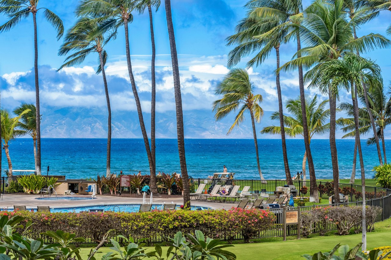
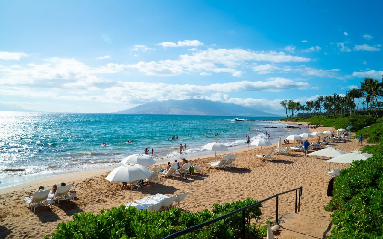
H (Hotel District): The most permissive for short-term rental activity. Properties in Hotel districts are typically eligible for vacation rental operations, subject to current ordinance requirements.
-
R (Residential): Single-family and limited multi-family use. Vacation rentals face the strictest restrictions here.
-
B (Business): Commercial uses, mixed-use potential, short-term rental, and some residential overlay possibilities depending on the specific sub-designation.
| Zoning code | Permitted use | Short-term rental status | Density | Key overlay risk |
|---|---|---|---|---|
| A-1 | Multi-family residential | Changing under Bill 9 | Moderate | Historic district possible |
| A-2 | Multi-family, higher density | Changing under Bill 9 | High | Scenic corridor possible |
| H (Hotel) | Hotel, resort, vacation rental | Permitted | High | Coastal setback rules |
| R (Residential) | Single-family, limited multi | Highly restricted | Low | Environmental overlay |
| B (Business) | Commercial, mixed-use | Varies by sub-designation | Moderate to high | Special district possible |
Pro Tip: Always check the most current ordinance version alongside the district code. Maui’s Hotel District rules for short-term rentals have evolved significantly, and recent amendments affect what was previously permitted. For investors focused on long-term rental zoning in Maui, the R and A-1 designations offer more stable regulatory ground.
Special overlays and historic districts: what investors miss
Base zoning tells you what a parcel is. Overlays tell you what you can actually do with it. This distinction is where many otherwise well-researched investment decisions quietly unravel.
Hawaii has special overlay zones including historic and special districts that impose additional development constraints beyond the base county zoning. These overlays do not replace base zoning. They layer on top of it, adding requirements, restrictions, or outright prohibitions that can fundamentally alter a project’s feasibility.Common overlay types that investors encounter across Maui and the surrounding islands include:
-
Historic districts: Properties within designated historic areas face strict design review. Exterior alterations, demolition, and new construction must be approved by preservation authorities. This can add months to permitting timelines.
-
Scenic corridors: Roads and coastlines with designated scenic value carry height restrictions, setback requirements, and limitations on signage or vegetation removal.
-
Environmental protection overlays: Coastal zone management areas, flood zones, and special management areas (SMAs) add another layer of state review before any development can proceed.
-
Special districts: Created to address unique community or geographic conditions, these can restrict density, use types, or architectural character in ways not visible on a standard zoning map.
“An overlay zone can effectively render a development plan non-viable overnight, even when the base zoning appears fully supportive. Investors who skip overlay research are not doing due diligence. They are doing half of it.”
A practical due diligence checklist for overlay research:
-
Request the full zoning certificate from Maui County, not just the district code.
-
Cross-reference with the Hawaii State Historic Preservation Division (SHPD) database.
-
Check the Special Management Area (SMA) boundary maps for coastal parcels.
-
Review FEMA flood zone designations independently.
-
Confirm whether any scenic corridor designations apply to the road frontage.
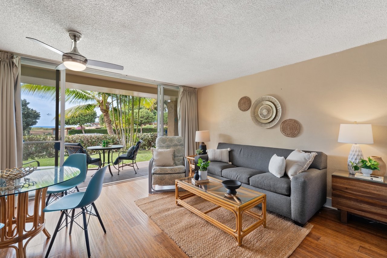
Properties like Kahana Outrigger illustrate how historic overlays interact with leasehold structures, adding yet another dimension to investment analysis in legacy coastal communities.
Why getting Hawaii zoning right is the real competitive advantage
Here is the perspective that separates experienced Hawaii investors from those who learn the hard way: zoning is not a checkbox at the end of due diligence. It is the first question, not the last.
We have seen transactions where a property’s appeal was undeniable, the location extraordinary, the price compelling. And then the zoning reality arrived. A parcel marketed as having development potential turned out to carry a Conservation overlay that made any meaningful improvement legally impossible. The buyer had fallen in love before confirming what the land actually allowed.
The Hawaii Land Use Commission is clear that relying on county zoning alone leads to fundamental errors. State district classification controls the outer boundary of what counties can even permit. Investors who understand this framework do not just avoid mistakes. They identify opportunities others overlook, because they can read the full picture.
Treating zoning as a strategic asset rather than a regulatory hurdle changes how you evaluate every parcel. It also changes the conversations you have with sellers, agents, and planners. Knowledge of both state and county frameworks, combined with overlay awareness, is the quiet edge that separates confident acquisitions from costly lessons. For case studies of due diligence pitfalls, the pattern is consistent: the deals that stall share one common thread.
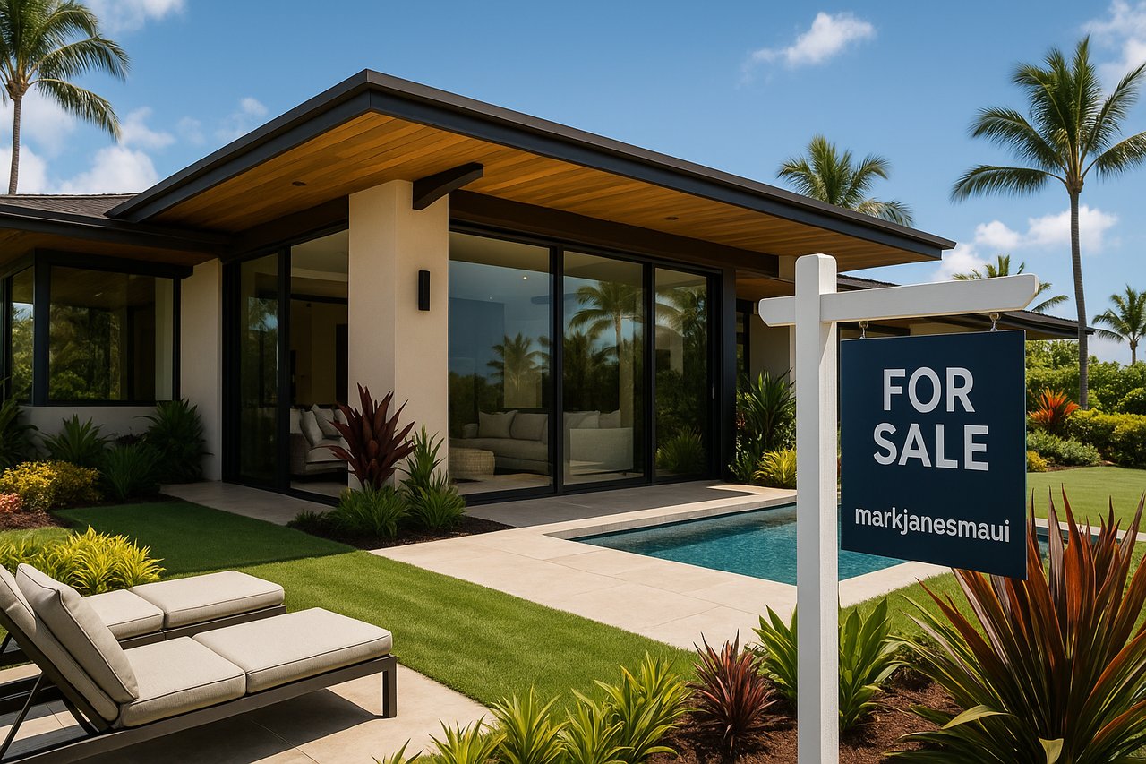
Connect with local experts for zoning-optimized investments
Understanding Hawaii’s zoning landscape is one thing. Applying it to a specific parcel, in a specific community, under current ordinance conditions, is another entirely. That is where local expertise becomes your most valuable asset.
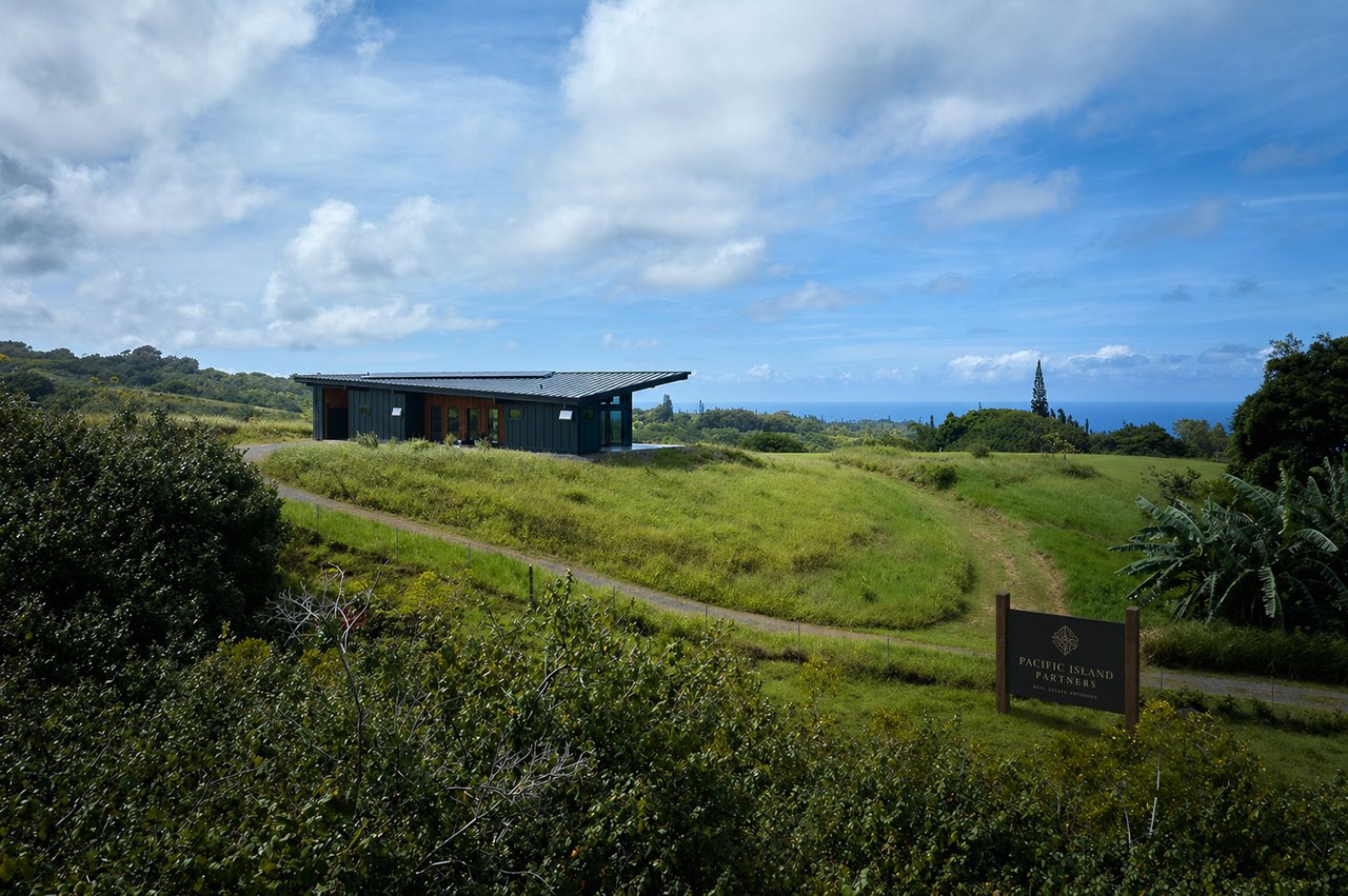
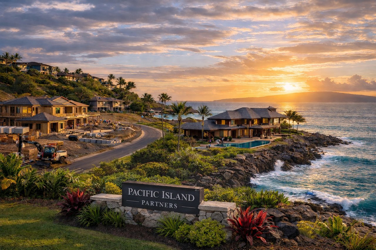
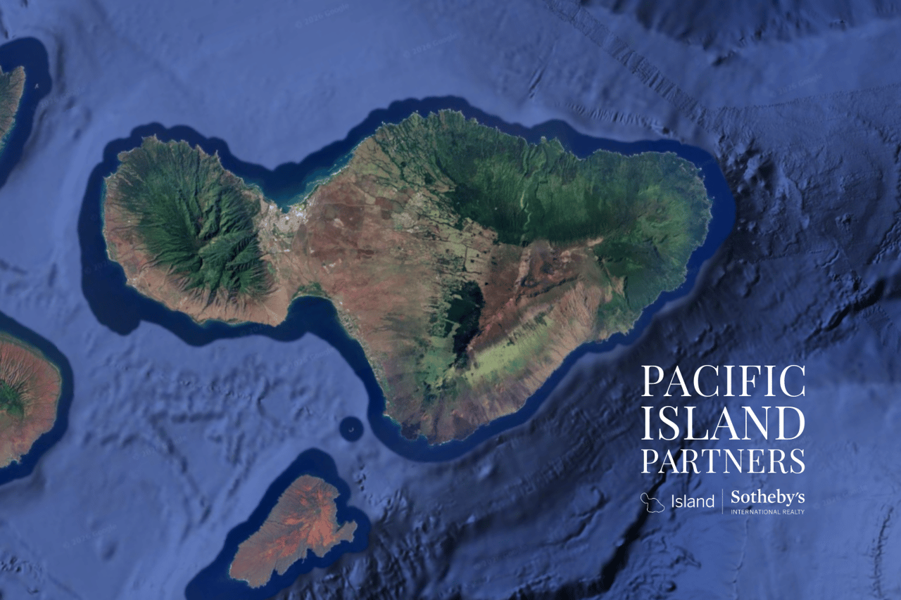
At Pacific Island Partners, Heidi Dollinger and Mark Janes bring years of combined experience navigating the precise intersection of state land use, county zoning, and overlay regulations across Maui and the surrounding islands. Whether you are evaluating a parcel at Lanikeha, exploring the full guide to neighborhoods, or simply beginning your search, the team offers the clarity and discretion that complex acquisitions require. Reach out to the local Hawaii experts at Pacific Island Partners to begin a conversation grounded in genuine knowledge and long-term perspective.
Frequently asked questions
What are the four state land use districts in Hawaii?
Hawaii’s four state districts are Urban, Rural, Agricultural, and Conservation, each setting different permitted uses and restrictions that apply statewide before any county zoning rules take effect.
How does county zoning work with state land use districts in Hawaii?
County zoning adds local rules within the broader state district, and both must be checked for compliance, because a county designation cannot override a more restrictive state land use classification.
Can I develop any property type on land zoned Urban in Hawaii?
No. Even within an Urban state district, you must also confirm county zoning and overlays, as these set the specific use permissions, density limits, and design restrictions that govern what can actually be built.
What are zoning overlays or special districts in Hawaii?
Hawaii’s overlays include historic and special districts that add extra rules and restrictions on top of base zoning, often affecting design standards, permitted uses, and permitting timelines in ways that are not visible on a standard zoning map.
Why do investors need to check both state and county zoning in Hawaii?
Because the state framework limits what counties can approve, missing the first step can lead to costly mistakes, including purchasing land under the assumption of development rights that the state classification simply does not allow.